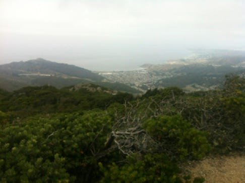
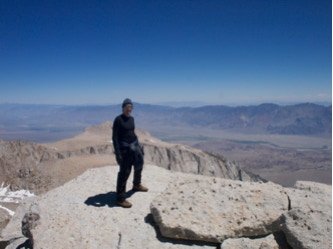
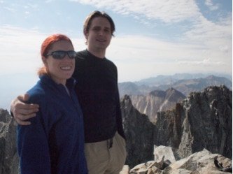
Attempted

10/16/2011

North peak stands only 1891’ above the ocean, but turned out to be a great little hike on a Sunday. North peak stands about 20 minutes south of San Francisco, and there are only a couple cell towers to see at the top, but you get a clear view up the coast of the city. A highly recommended respite from busy city life.

09/03/2011

We took the same route as the first trip (Avalanche Gulch). The best part was the snow volume was the same at Labor day as it had been two years before in June! Too bad the resulting winter couldn’t match and the summer of 2012 was pretty much snow-less.

07/09/2011

Mt. Langley was supposed to be easy, but it turned into an awesome trip with some class 3 crampon segments and some awesome bouldering. Next time, take new army pass instead of old army pass.

04/03/2011

Cone peak stands at 5155’ above sea level, but is only 3 miles away from the ocean.

11/06/2010

My quest was pretty simple. Wander up through the Joseph D. Grant county park and see what I could find. The reality turned out to be quite a little trip. The day started at the east side of the park off of 130 at the Twin Gates trail head. The beginning elevation was 2400’. There I followed the Canada de Pala trail north up to the Pala Seca Trail. Here I veered off all the way until I hit Antler point at 2,999 feet. Feeling a little brazen (and probably dumb), I wandered down into the valley below to see the stream below, Hondo Arroyo Creek. Suddenly I was treading down a pretty steep muddy hill. This was a mistake. At the bottom, there didn’t look like a good way to get up on either side, so I wandered up the creek a little and was able to find a gentle grade on the other side to climb up.